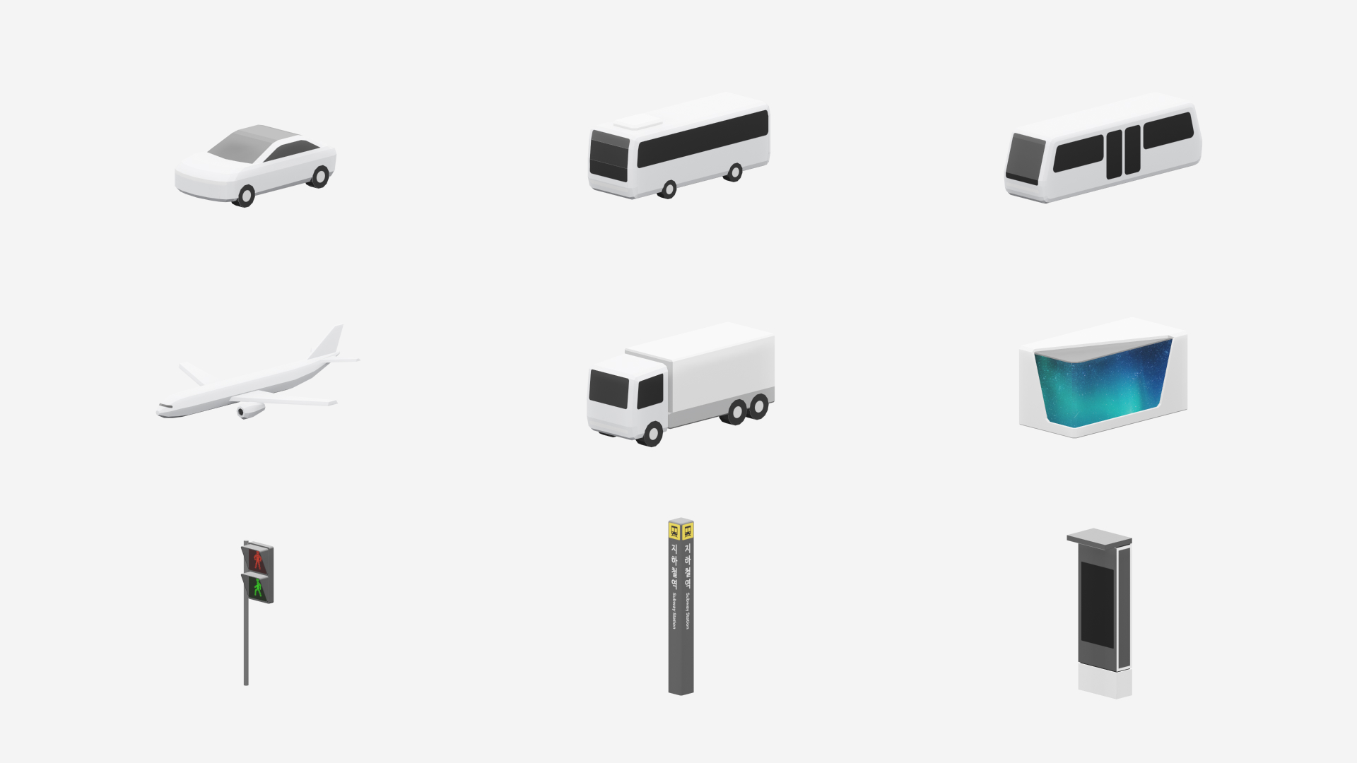
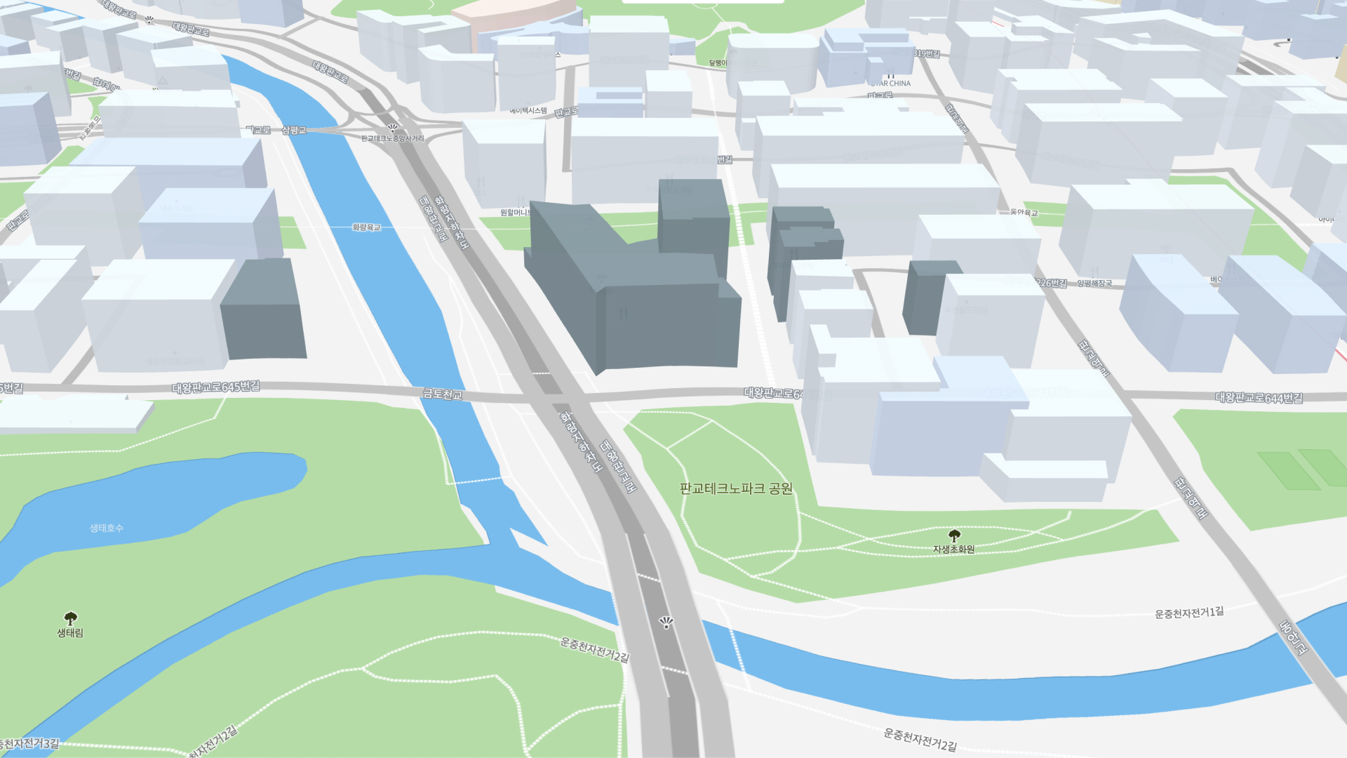
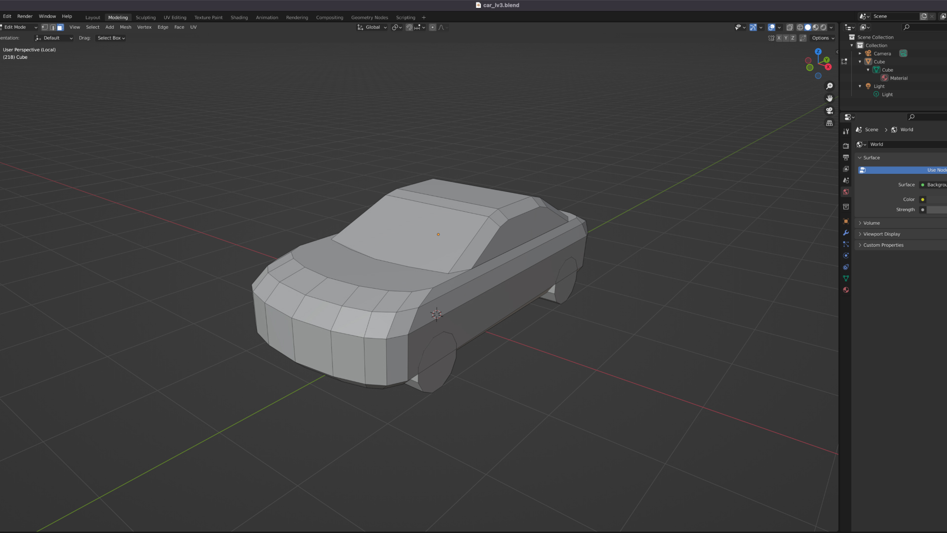
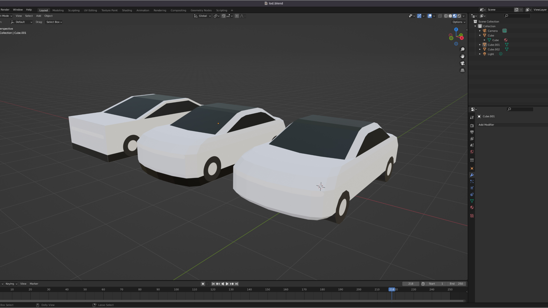
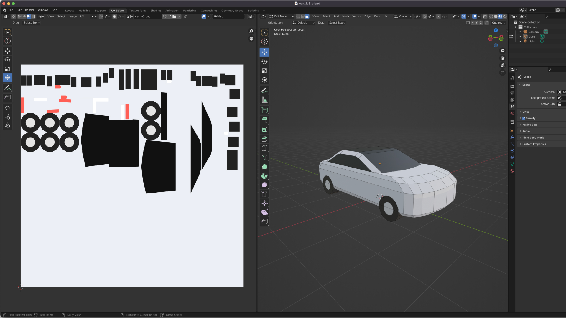
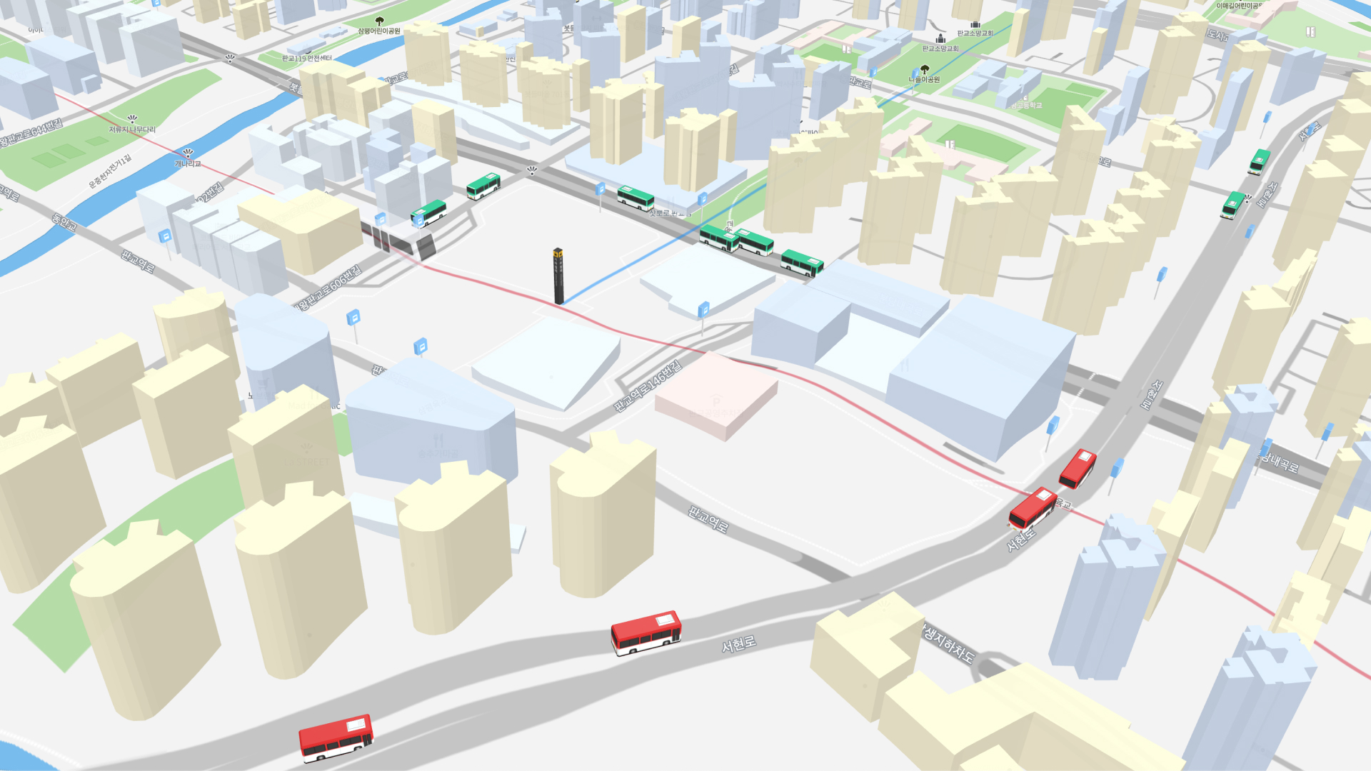
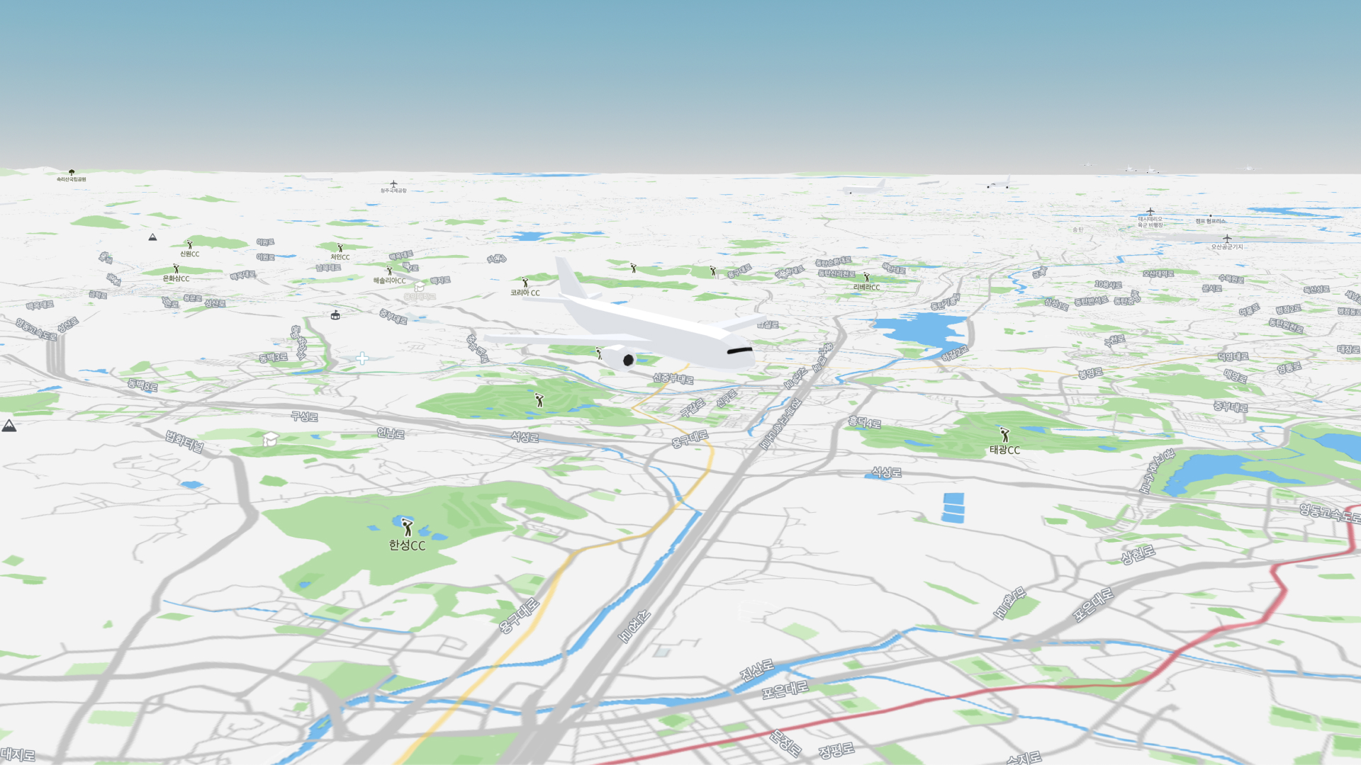
Orbro — 3D Object Modeling

Orbro is a location technology-based digital twin platform that reflects various real-world data on a 3D map in real-time. I modeled 3D objects for public transportation and infrastructure that move organically and reflect diverse data within Orbro.

Optimized Modeling for Web-Based 3D Maps

The 3D objects were placed in the Orbro environment, a web-based 3D map built on Mapbox. While web-based 3D maps offer high user accessibility, achieving high-performance graphics is challenging, making it important to minimize the vertex count in the models.

Simple Yet Distinctive Design

To reduce the vertex count, I eliminated complex elements from the objects while maintaining distinctive features to differentiate each object with minimal form. Additionally, I simplified the shapes based on the camera zoom level to optimize map loading speed.
Design with Minimal Vertex Count
Shape Simplification Based on Zoom Level

UV Mapping to Complement Simplified Shapes

I used UV mapping to complement the simplified shapes and maintain visual consistency between the objects and the map. UV mapping allowed more detailed elements to be included, especially when simplifying shapes based on the zoom level.

Customized for Service Features

The completed object models were customized and applied to each Orbro service, such as buses, subways, and aviation. These objects interact organically in real-time based on real-world data and user actions.
Applied in Bus and Subway Apps
Applied in Aviation App

A New Challenge with New Tools

This project was a new challenge as I was not a 3D designer, requiring me to learn new modeling tools and techniques. Despite initial difficulties, working on each object one by one allowed me to complete Orbro’s initial concept. This project gave me the confidence to actively take on new challenges in new fields in the future.